
RIO GRANDE RIVER ACCESS
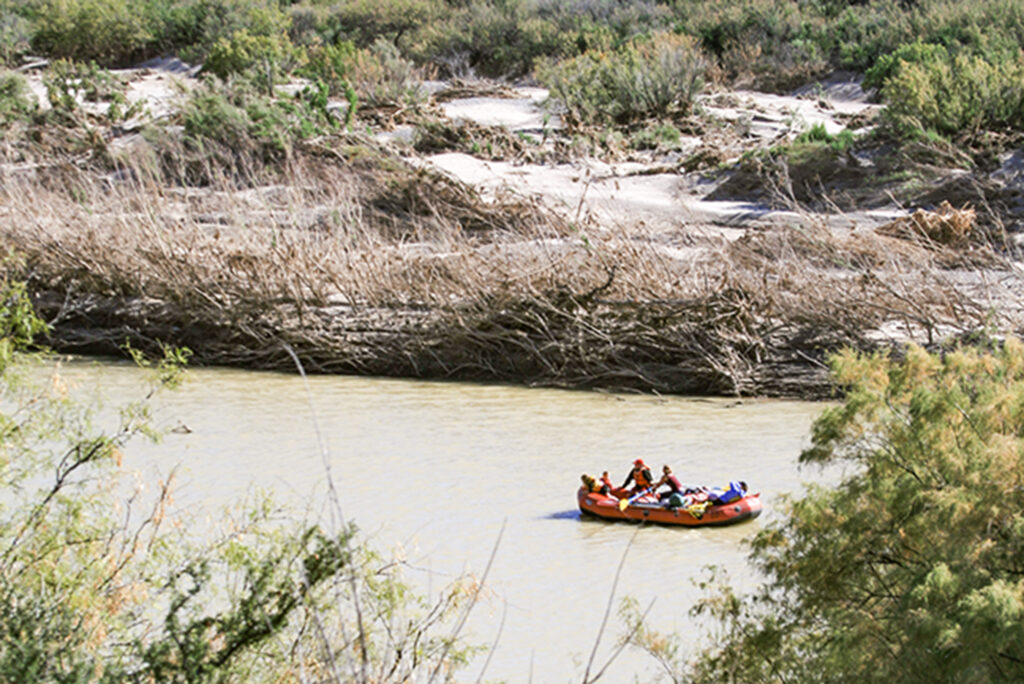
The Rio Grand River winds through Presidio and Brewster Counties along the Texas-Mexico border. It is the southern border of Big Bend Ranch State Park, Texas and the United States. Scenic FM 170 generally follows along the river through the park.
Big Bend Ranch State Park is home to a series of spectacular canyons cut into the rock by the Rio Grand River.
Colorado Canyon is the longest canyon in the state park, at about 7 miles long and is the first of the region’s major canyons. Followed by Dark Canyon and Madera Canyon, all Big Bend Ranch State Park canyons are upstream of the series of canyons in Big Bend National Park.
ACCESS POINTS
A permit issued by the state park is required to float the river, permits are available at both Ft. Leaton and Barton Warnock Visitor Center. The furthest upstream put-in point is at Arenosa and the furthest downstream take-out point is just outside Big Bend Ranch State Park in Lajitas.
Additional access points can be found in the following locations:
- Colorado Canyon River Access
- End of Colorado Canyon
- La Cuesta River Access
- Dark Canyon Enterance
- End of Dark Canyon
- TeePee Picnic Area
- Madera Canyon River Access
- Grassy Bank River Access
- Lajitas River Access
NAMED RAPIDS
The Colorado Canyon run is beginner-friendly at low levels (<1000cfs). Rafts can run as low as 200 cfs but lower levels require a hard boat. The river is generally not runnable at levels lower than 100cfs.
The following named rapids are listed and classified by American Whitewater:
- Rancherias – Class II
- Closed Canyon – Class II
- Thread the Needle – Class II
- Quarter Mile – Class II
- Panther Creek – Class II
- Contrabando Creek – Class II
- Ledge Rock – Class II
- Fresno Creek – Class II
- Contrabando Creek – Class II
Suggestions on how to navigate the named rapids can be found on the American Whitewater website.